travel photography

cold boston morning

one freezing saturday morning spent wandering along boston’s charles river esplanade.

a few weeks ago I went to boston for the weekend to check out the john singer sargent exhibition at the museum of fine arts. sargent is one of my favourite painters & I couldn’t pass up the chance to see so many of his works in one place. arriving in boston just before 7 am on a saturday morning meant I had a lot of time to wander. I layered on hiking clothes & windproof fleece in the logan airport bathroom before heading into the city to brave 27 degree temps.

it’s been quite a while since I’ve experienced “real” winter. the sharp cold air & ice gathering along the rivers edge fascinated me.

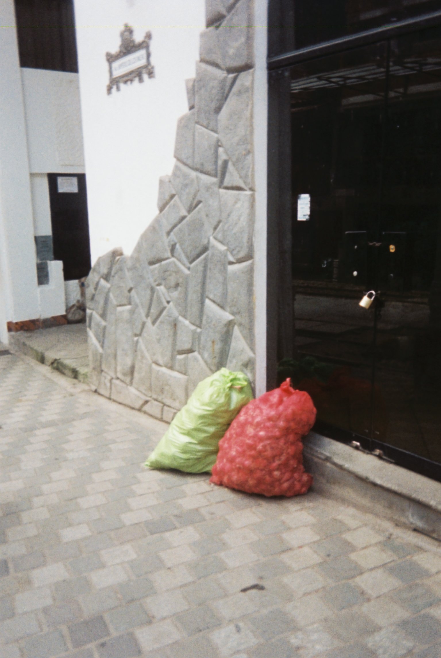
hot waters

after four days hiking the inca trail & a morning spent in the ruins of machu picchu we stopped in machupicchu pueblo (also known as aguas calientes) for lunch. before catching the train back to ollantaytambo to start my return to cusco, I wandered the streets & the bustling market with new found friends & my little point & shoot film camera.

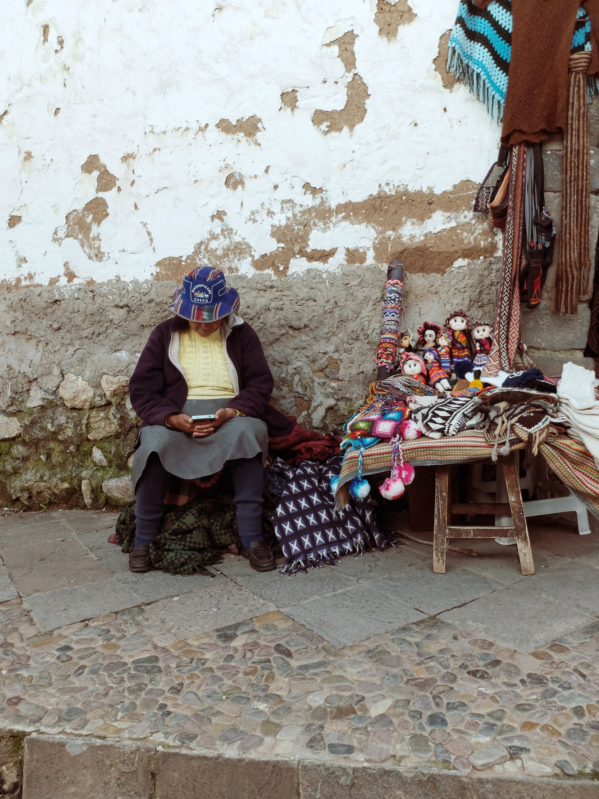
streets of cusco

walking the bustling & narrow streets of cusco with my fujifilm x30. once the capital of the incan empire, now the main hub for peru’s tourism industry.

looking up

while playing with my new (to me) fujifilm x30 in nyc I fell in love with this monochrome film simulation & the winter light on the city’s buildings.

I loved being back in the city, even if only for a handful of days. I was surprised to realize that as much as I love new york I am very grateful to have made my home in california.

standing stones

journal:

“I don’t think I understoond the word verdant until now. not fully. whereas dublin is grey & a bit blunt the countryside is lush & rugged & rolling hues of green interspersed with slate rock & peat bogs.

the roadsides are dotted with serene collections of mountain sheep grazing away as the cars move around them like a planet in orbit. they can sense the rain & lay down when it’s on its way. sometimes they lay together in little groups of 2 or 3 resting their pitch black faces on each other like woolen pillows.”

poulnabrone dolmen is the largest & best preserved of irelands some 172 dolmens or pass through tombs. the partial remains of at least 33 people have been found here, indicating the site was used for ritual rather than an long term burial location. the structure dates to the neolithic era, but was in use up through the bronze age.

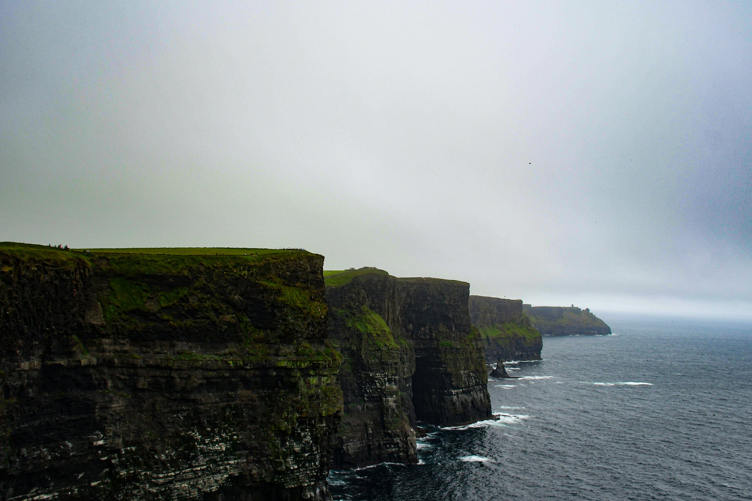
edge of the world

located on the southwestern edge of ireland’s burren region in county clare, the cliffs of moher run roughly 9 miles along the coast. at their highest they rise more than 700 feet from the atlantic ocean below.

camcorder video diary

the cliffs were formed between 313-326 million years ago as a result of a river dumping silt, sand, and clay along an ancient delta. this sediment was collected over millions of years & compacted & lithified into sedimentary strata now exposed as the cliff face. the punishing atlantic ocean waves are now eroding the cliffs, causing them to collapse under their own weight.

you may recognize the cliffs of moher from their supporting role as the “cliffs of insanity” in the 1987 epic the princess bride.

I arrived in the early afternoon to an otherworldly view of the atlantic & the infamous cliffs shrouded in sea mist & swept by gusts of cold salt air. the cattle and sheep of the surrounding countryside didn’t seem to notice the bluster, & continued their lunchtime grazing without incident.

the cliffs now see over 1.5 million visitors per year.


emerald isle in black & white

recently returned from my trip exploring ireland. despite bringing a wide range of cameras with me, sometimes the iphone is all you need.

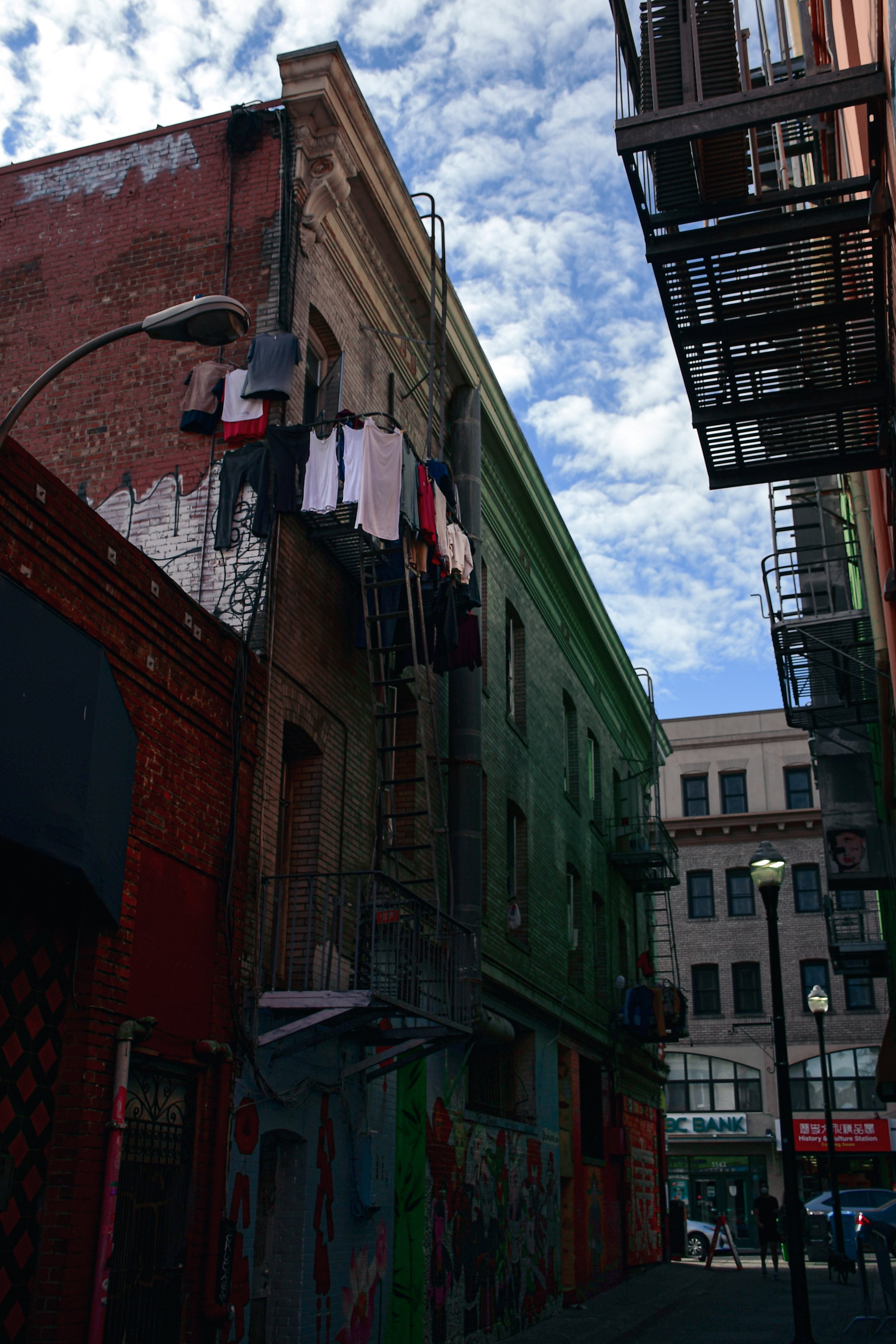
one day in san francisco

in january I spent a single day in san francisco. I arrived on an early morning flight & wandered the city streets until I made my way to the san francisco museum of modern art for their collection of agnes martin pairings & their exhibition of joan mitchell.

this is some of what I saw.

hollywoodland

originally built in 1923 as an advertisement for the segregated “hollywoodland” real estate development in the surrounding hills, the sign was eventally left up due to popular demand & is now a los angeles historic cultural monument. the original sign was studded with thousands of lightbulbls, which flashed “holly” “wood” “land” on repeat. it wasn’t until 1948, when the hollywood chamber of commerce contracted with the city of los angeles parks department to maintain the sign, that the “land” section was removed to reflect the entire surrounding neighbourhood & not just the housing development.

DSC_4489.jpg

in 1978 the formerly wood sign was rebuilt from steel after spending decades in disrepair. the campaign to restore the sign was led by playboy magazine founder hugh hefner, who donated money to the cause. the new sign was unveiled as part of a cbs television special commemorating the 75th anniversary of the incorporation of the city of hollywood.

it is now one of the most visited tourist attractions in los angeles.

neons

spent a few days last week in my hometown on a rare visit. drove past my elementary school & high school, wandered the old neighbourhoods, & revisited some historic haunts. I’ve always had a thing for interesting & vintage neon signs.

the neon sign for powell villa in outer se portland was likely installed in the late 1950s.

avalon theatre, opened as the sunnyside theatre in 1912. the avalon sign likely dates from 1925.

joshua tree

joshua tree national park straddles both the colorado desert & the mojave desert in eastern california. the park was originally declared a national monument in 1936 & re-designated a national park in 1994 after congress passed the ‘california desert protection act’. taking up nearly 800,000 acres, the park itself is slightly larger than the state of rhode island. joshua tree is named for its trademark vegetation, the yucca brevifolia, which is native to the mojave desert.

more photos.

Details: Mont Saint Michel

At low tide you can walk all the way around the island of Le Mont Saint Michel in the sticky silt. There are tiny details, from chains & pipes to dead creatures revealed only when the sea is out.

Whitewater, CA

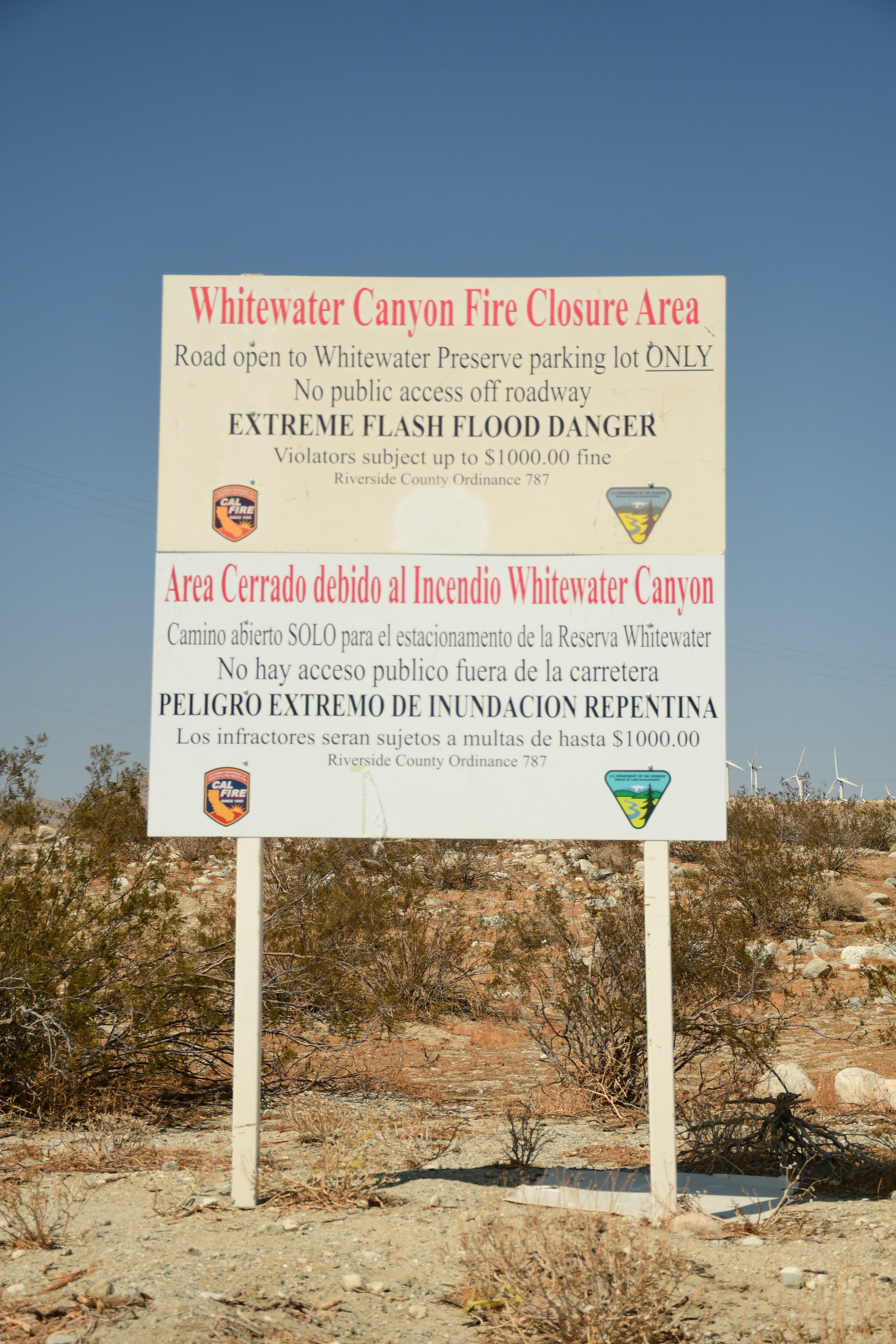
A census-delegated place in California’s Riverside county, Whitewater began as a watering stop for travelers on the Bradshaw Trail between San Bernadino & the Arizona Territory in 1862. Still home to a small population, Whitewater is now known for its trout farm in the Whitewater river canyon.

Due to the effects of recent wildfires, the popular swimming hole in Whitewater river along interstate 10 is closed to the public. But the signs warning of imminent flash flood danger & high penalty fines don’t stop intrepid visitors from jumping in for a refreshing dip.


Dreaming in the Tall Grass

travel diary:

I imagine myself laying in the waist deep grass of the normandy marshlands. it rolls out in every direction until it simply ends on the coast with the creeping high tide. the end is not the hard line the map makes it out to be, but rather it is a place where greenyellow blurs into slowly rolling grey. I watch as my boots slough mud on the trampled blades.