hiking

fossils

inside one of the circular erosions.

spent an early morning last week climbing around fossil falls off highway 395 in the california desert. I left los angeles at 4 am to beat the heatwave temperatures, but it was still 90+ degrees when I arrived at around 6:30 in the morning.

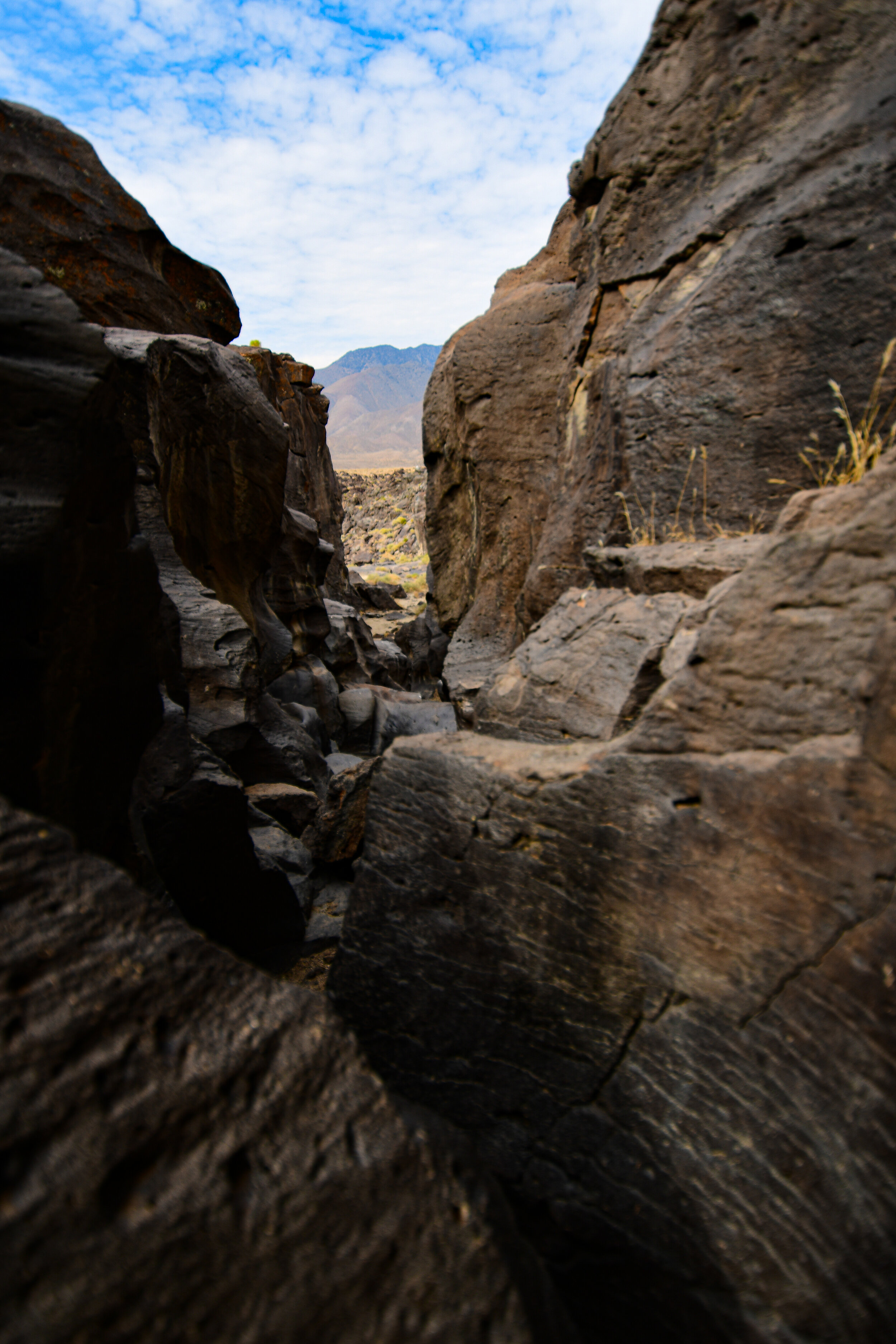
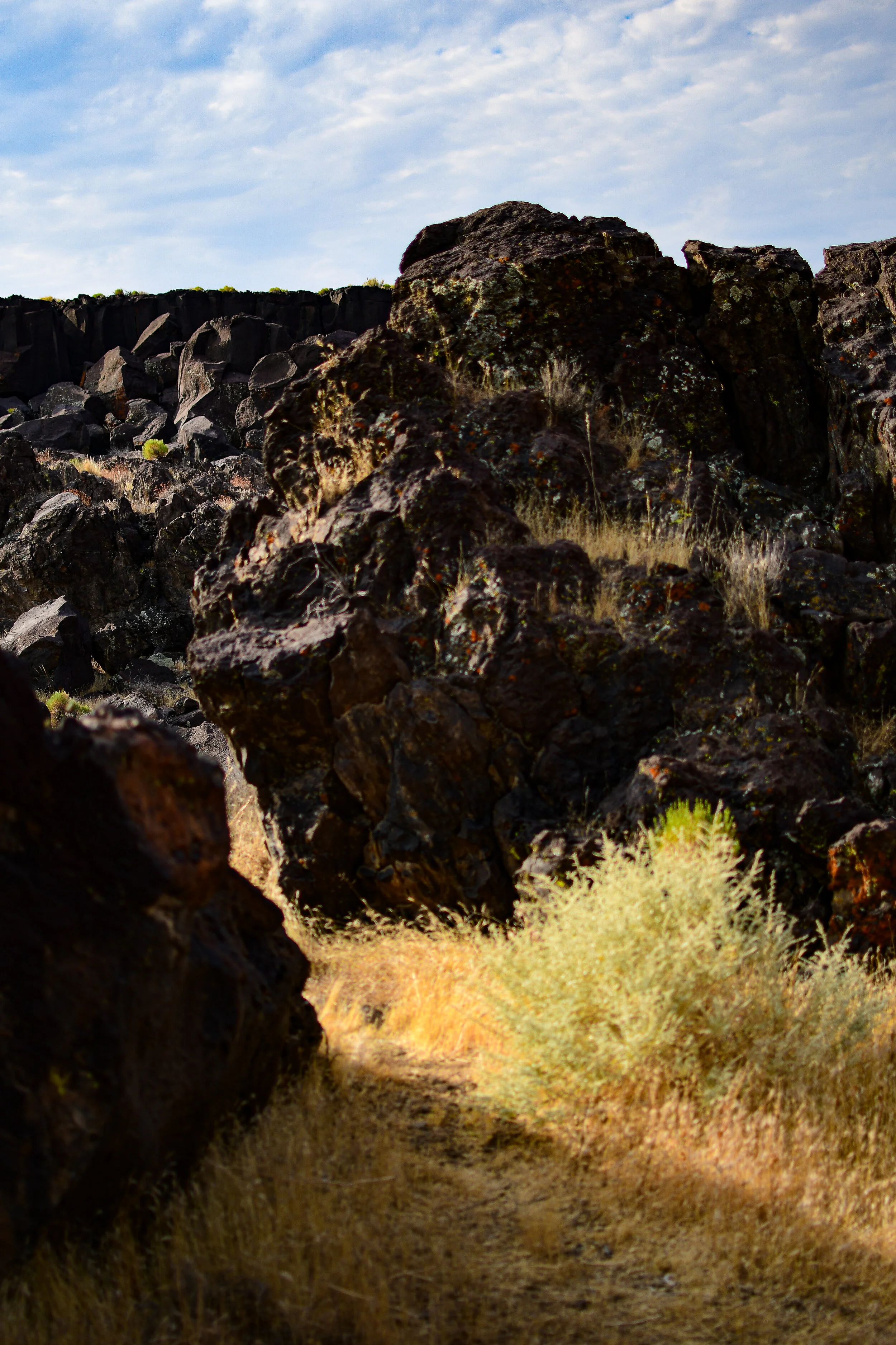
fossil falls is a fascinating geological feature that contains neither fossils nor waterfalls! tens of thousands of years ago water runoff from nearby glaciers made its way through the valleys of the high desert. there they met with some obstruction from volcanoes! the running water carved volcanic rock into the spectacular tumble that is now fossil falls. the basalt shapes are almost alien looking & feature perfectly circular erosions called potholes where rushing water drove sediment into the rock via rotating eddies.

you might also recognize fossil falls from a short film I shot there a few years ago, finite.

hiking with the devil

the devil’s punchbowl natural area is an LA county park in the transitional zone between the san gabriel mountains & the mojave desert. it surrounds a punchbowl formation, where a millennia of shifts in the plates of the earth along the punchbowl fault have forced a sandstone syncline—where the edges of the earth have been folded upward while the center dropped.

the punchbowl fault connects with the famed san andreas fault only a short distance northward.

the devil’s chair is aptly named!

within the natural area is the devil’s chair, a narrow outcropping of rocks providing panoramic views of the surrounding geology. while the chair & the path immediately to it are lined with a rough metal fence the height, wind, & narrow width had me a bit nervous. the trail itself is frequently about a foot wide & barely cut into the side of the mountain. man-made railings are sporadic & in various states of disrepair. the view is well worth the trek, even though I only sat in the devil’s chair for a few minutes!

my way of reminding myself what I’m taking a photo of.


from several vista points along the trail you can clearly see the line of rock marking faultline activity. after climbing the devil’s chair route, I took the much shorter loop trail down into the canyon to see the sandstone rock formations close up. a stark visible reminder that our planet is always shifting.

the devil’s chair hike is about 7.5 miles out & back, mostly moderate with a couple of steep sections at the beginning & end. limited shade & portions which are not for the faint of heart.

the loop trail is a steep 1 mile circut from the punchbowl natural area’s parking lot down into the canyon where the sandrock creek winds between the stones.

parking is free, but limited.

park’s website.