hiking

narrows

hiked the narrows in zion national park this past summer & did not enjoy it! the canyon is stunningly beautiful but hiking in water is not my cup of tea. twisted my ankle & fell in the water more than once.

“the narrows” are the narrowest section of zion canyon and the name refers to either the 3.6 mile bottom-up hike or the 16 miles top-down route. it is one of the most popular hikes in the national park.

death valley winter

three iphone shots from my time in death valley on a full moon.

the winter light in death valley is like a caress. rose-hued & hugging the mountains – curling between scrub grass & salt flat. driving the long curving roads like a wave craving sand.

back at the rocks

journal:

woke up at 3am & went to the desert. highway 14 served as a kind of line between the slowly spreading dawn & the thick close smoke of fires burning to the north.

the morning sun doesn’t so much rise here as it does spread out. the light fills the darkness like water saturating a cloth. it blooms. osmosis.

spent a morning a few weeks ago at my favourite state park – red rock canyon in cantil. I’ve taken a lot of photographs of this park over the years so I decided to bring my film cameras out to play.

wind & rocks

a morning walking amongst the rocks & the high winds at red rock canyon state park, ricardo campground.

a little longer than expected

DSC_8614.jpg

spent some time yesterday lost in the mojave in red rock canyon state park. things could have gone very badly, but I had adequate supplies & the skills to navigate my way out & back to the highway. but it turned my 5ish mile morning hike turned into a 10+ mile trek.

I love the desert & a big part of that is the way it can be both dangerous & beautiful, as well as its unpredictability. the desert can be a hostile place but it’s also thriving & full of life. I still love the desert, but I’ll take a break from 10 mile hikes for a couple of weeks at least!

old volcano friends

amboy crater rises up almost 1000 feet above its surrounding lava field.

amboy crater is a cinder cone volcano located just off route 66 in california’s mojave desert. a cinder cone volcano is the simplest form or volcano, created when lava & particles are shot into the air during an eruption from a single vent. the cooling lava falls back to the earth creating a cone shape around the vent.

the amboy volcano is considered extinct & hasn’t erupted for at least 10,000 years. an easy 4.1 mile out & back hiking trail takes you through the surrounding lava field & into the crater. temperatures get very hot in the summer, above 100 degrees most days. bring extra water, sunscreen, & sun protective clothes.

view into the crater from the volcano’s rim.

Reds

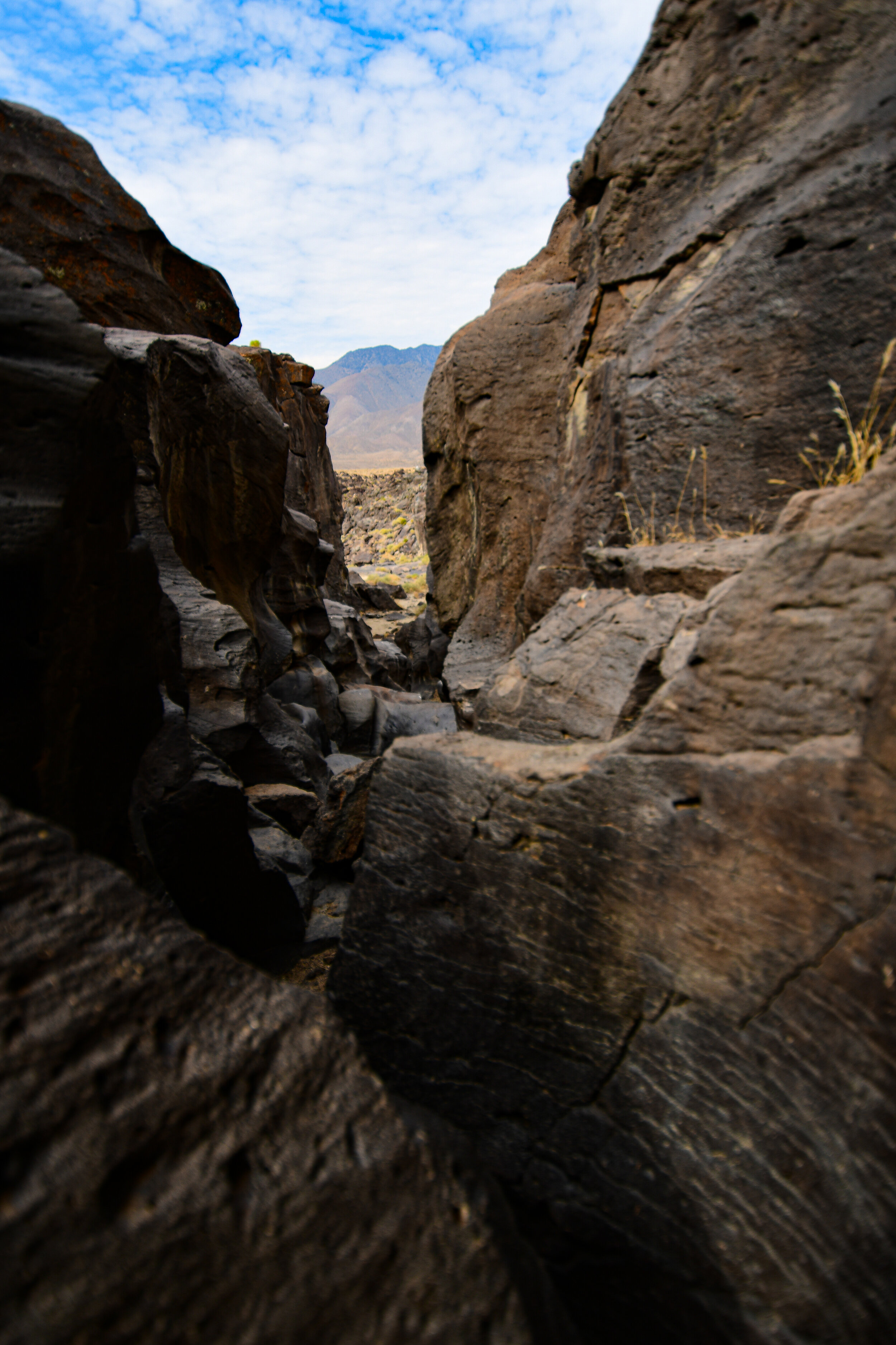
there are several “red rock” parks throughout the united states. one of the perhaps lesser known ones is red rock canyon state park in southern california just off state highway 14.

bisected by the road, the park is easy to find & provides gorgeous views from even a passing car window. located at the southern most tip of the sierra nevada mountains where they meet with the el paso range, driving through you can clearly see as the desert topography changes around you.

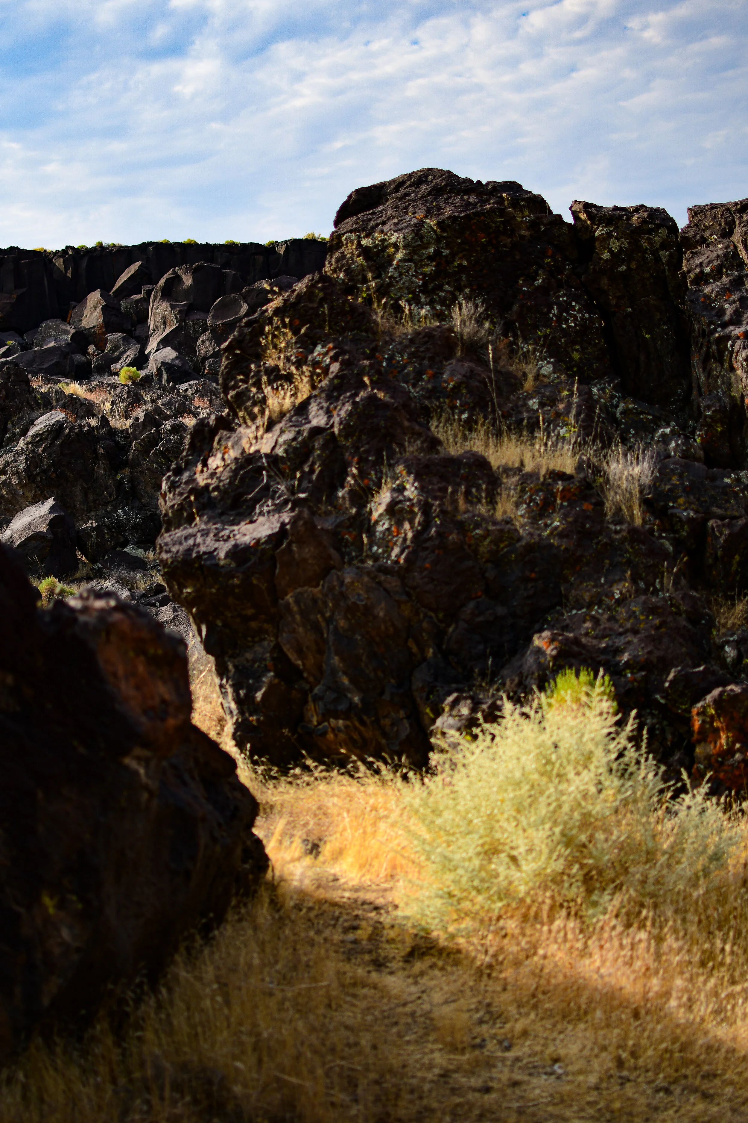
the distinctive red rocks once served as landmarks for passing mule freight teams in the 1870’s & the park land now protects several significant paleontology sites, as well as the remains of late 19th century mining operations.

I left los angeles at 4 am to catch the sunrise over these picturesque natural scupltures. the dawn light made the desert look like a painting. the only word that comes to mind to describe it is “majestic”. it was absolutely gorgeous.

fossils

inside one of the circular erosions.

spent an early morning last week climbing around fossil falls off highway 395 in the california desert. I left los angeles at 4 am to beat the heatwave temperatures, but it was still 90+ degrees when I arrived at around 6:30 in the morning.

fossil falls is a fascinating geological feature that contains neither fossils nor waterfalls! tens of thousands of years ago water runoff from nearby glaciers made its way through the valleys of the high desert. there they met with some obstruction from volcanoes! the running water carved volcanic rock into the spectacular tumble that is now fossil falls. the basalt shapes are almost alien looking & feature perfectly circular erosions called potholes where rushing water drove sediment into the rock via rotating eddies.

you might also recognize fossil falls from a short film I shot there a few years ago, finite.

hiking with the devil

the devil’s punchbowl natural area is an LA county park in the transitional zone between the san gabriel mountains & the mojave desert. it surrounds a punchbowl formation, where a millennia of shifts in the plates of the earth along the punchbowl fault have forced a sandstone syncline—where the edges of the earth have been folded upward while the center dropped.

the punchbowl fault connects with the famed san andreas fault only a short distance northward.

the devil’s chair is aptly named!

within the natural area is the devil’s chair, a narrow outcropping of rocks providing panoramic views of the surrounding geology. while the chair & the path immediately to it are lined with a rough metal fence the height, wind, & narrow width had me a bit nervous. the trail itself is frequently about a foot wide & barely cut into the side of the mountain. man-made railings are sporadic & in various states of disrepair. the view is well worth the trek, even though I only sat in the devil’s chair for a few minutes!

my way of reminding myself what I’m taking a photo of.


from several vista points along the trail you can clearly see the line of rock marking faultline activity. after climbing the devil’s chair route, I took the much shorter loop trail down into the canyon to see the sandstone rock formations close up. a stark visible reminder that our planet is always shifting.

the devil’s chair hike is about 7.5 miles out & back, mostly moderate with a couple of steep sections at the beginning & end. limited shade & portions which are not for the faint of heart.

the loop trail is a steep 1 mile circut from the punchbowl natural area’s parking lot down into the canyon where the sandrock creek winds between the stones.

parking is free, but limited.

park’s website.